


Cool extensions for OpenLayers (ol).


ol-ext is a set of extensions, controls, interactions, popup to use with Openlayers.
View live examples online or the API documentation.
Icon font set for use with GIS and spatial analysis tools


I've collected in this repo icons and graphics I've been using in my projects. Font-GIS icons and font theme is designed mainly for GIS applications and web mapping tools. They can be easily included in a project using the font or svg images.
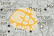
Style for IGN's Géoservice vector tiles (TMS/WMTS)

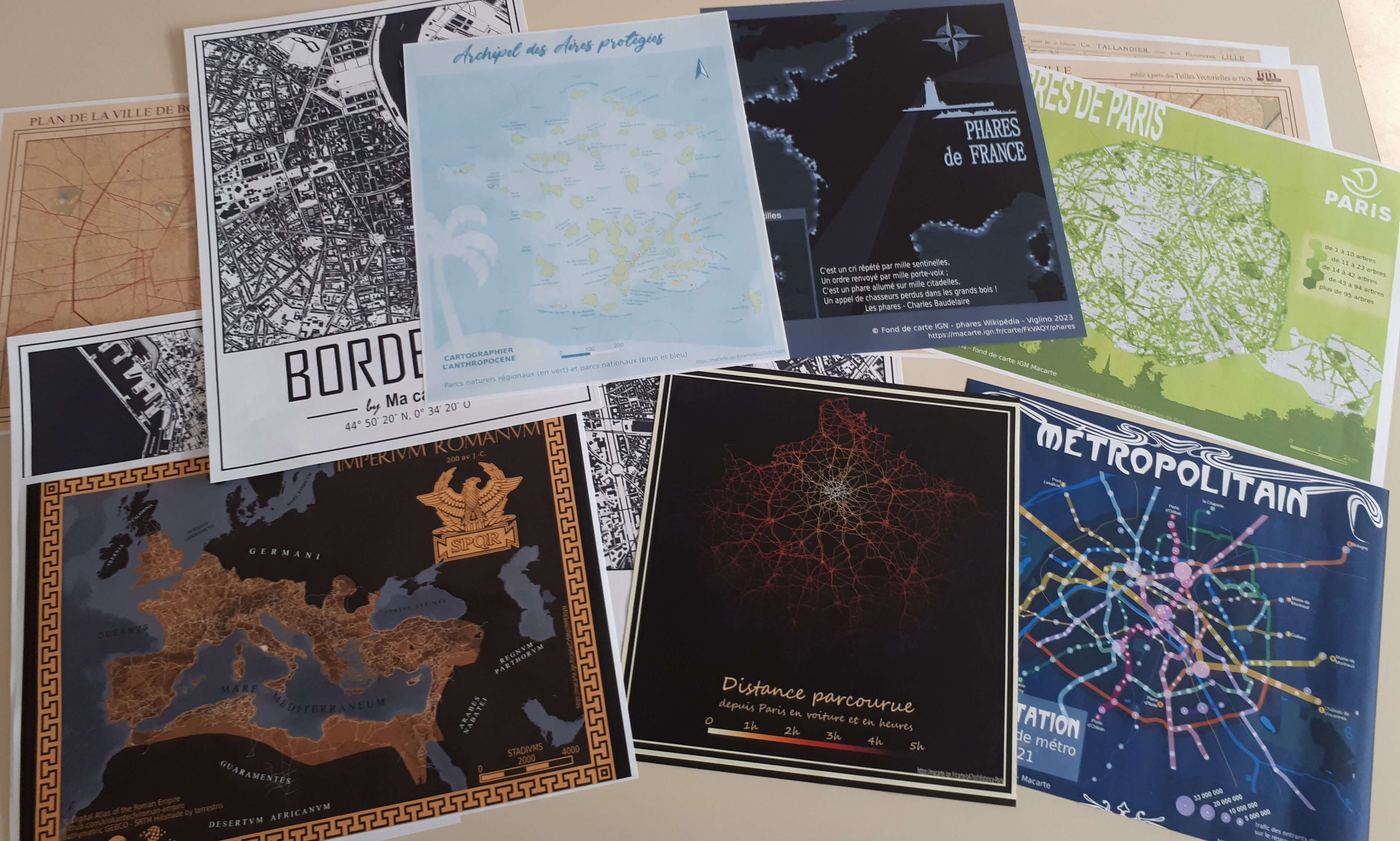
Des modèles pour créer des conceptions efficaces et raconter des histoires avec des cartes.
Cette publication vous donne un aperçu des possibilités offertes par les nouveaux outils du géoweb pour manipuler des données sur des cartes et les mettre en ligne. Elle montre comment bénéficier de la géoinformation en tant qu'individus ou société, pour des utilisations en politique, en milieu professionnel, dans la recherche ou dans l'éducation.
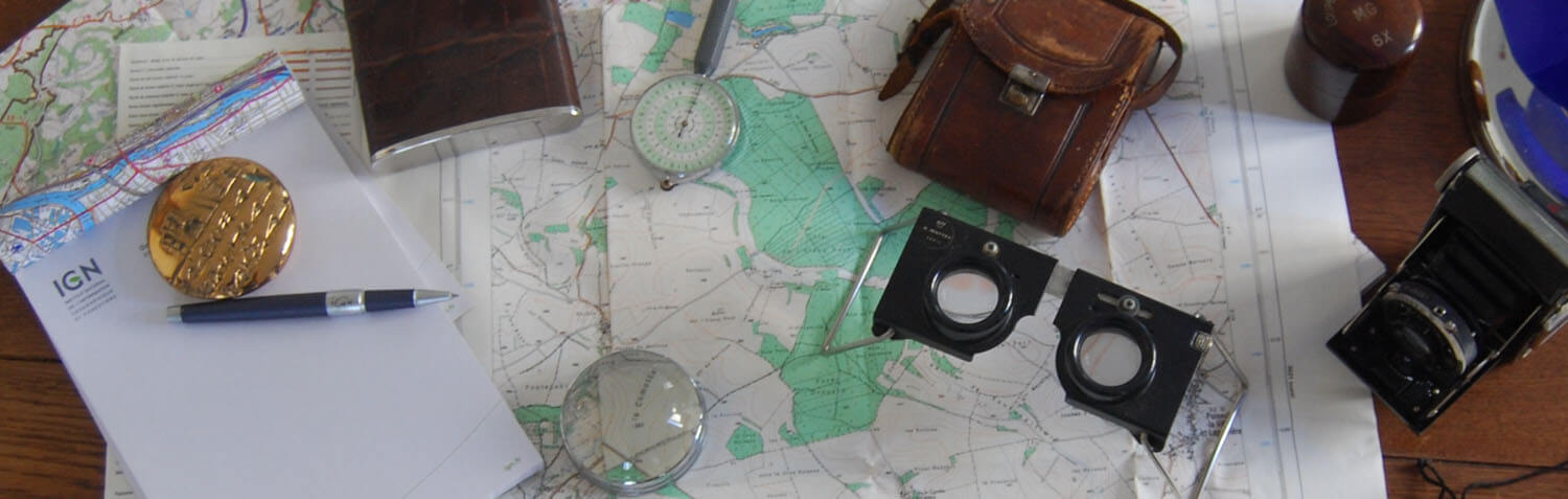
 Vagabondage
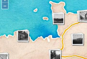
Jeu de rôle en solitaire qui se joue en ligne sur les cartes et photographies aériennes de l'IGN. Entre survie et rencontres, vous incarnez un personnage en fuite dans la campagne française.
