A library for converting images to leaflet tiles
Output Folder structure
Output folder structure looks like this:

-z
--x
---y.png

=========

-0
--0
---0.png
-0
--0
---1.png
...
-0
--1
---0.png
...
-1
--1
---0.png
npm i img2-leaflet-tiles
Recommended to use .png
const img2LeafletTile = require('img2-leaflet-tiles');
const path = require('path');

const inputPath = path.join(__dirname, 'input/input.png'); // path to input image
const outputPath = path.join(__dirname, 'output1'); // path to folder output

const zoomLevels = [
    [1, 2048], // 2048 x 2048
    [2, 1024], // 1024 x 1024
    [3, 512], // 512 x 512
    [4, 256], // 256 x 256
];

img2LeafletTile({
  inputFile: inputPath,
  outputFolder: outputPath,
  zoomLevels: zoomLevels,
  shouldLog: true, // log info
});
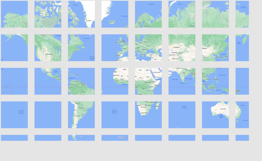
The example above will produce "output1" folder which contains 4 levels of zoom that can be used for leaflet.
sample input:
sample output:
Distributed under the MIT License. See LICENSE for more information.
Google Maps - for sample input

