Originally introduced in HTML 3.2 as a replacement for server side imagemaps. Server side image maps were clunky requiring a round trip to the web server to determine where to go based on the coordinates clicked in the image. Thus client side image-maps were born!
An imagemap is a graphic image where a user can click on different parts of the image and be directed to different destinations. imagemaps are made by defining each of the hot areas in terms of their x and y coordinates (relative to the top left hand corner). With each set of coordinates, you specify a link that users will be directed to when they click within the area.
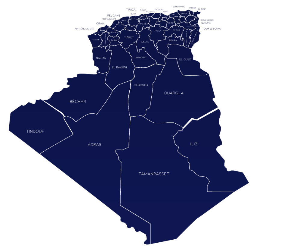
As an example, say you have a map of Algeria that you wish to act as an image map. Each City could have their hot areas defined on the map to take you to different pages.