{{pkg.description}}
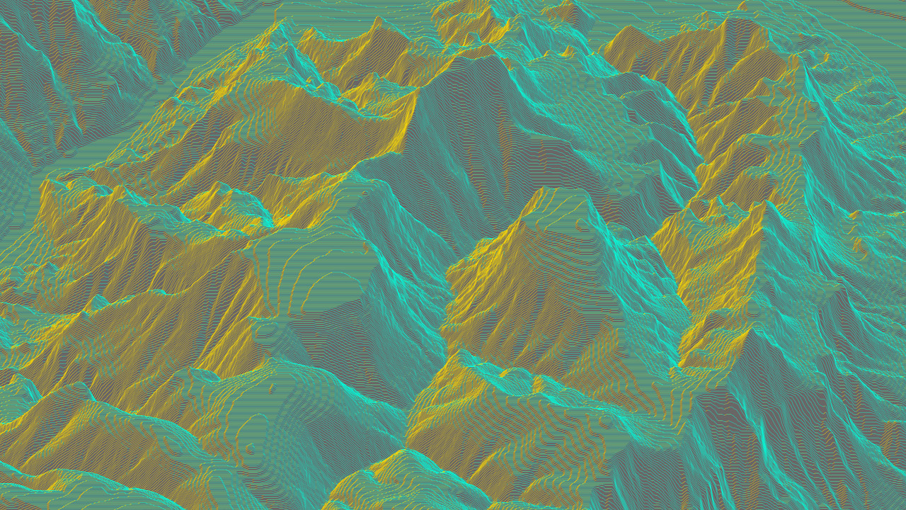
This package is only intended to simplify obtaining DEM (elevation) data and not aimed at general GeoTIFF functionality. For the latter we recommend using the wrapped geotiff.js package directly.
{{meta.status}}
{{repo.supportPackages}}
{{repo.relatedPackages}}
{{meta.blogPosts}}
{{pkg.install}}
{{pkg.size}}
{{pkg.deps}}
{{repo.examples}}
{{pkg.docs}}
import { GRAY16 } from "@thi.ng/pixel";
import { readGeoTiff } from "@thi.ng/pixel-io-geotiff";
import { asPGM16 } from "@thi.ng/pixel-io-netpbm";
import { readFileSync } "node:fs";

// load GeoTIFF image and convert to thi.ng/pixel floatBuffer
// the result image uses a custom pixel format (FLOAT_GRAY_RANGE, with [min..max]
// set to the analyzed value range found in the source image raster...)
const result = await readGeoTiff(readFileSync("USGS_1_n37w119_20211004.tif"));
// { img: FloatBuffer { size: [ 3612, 3612 ], ... }, tiff: { ... } }

// convert to 16bit PGM
writeFileSync("n37w119.pgm", asPGM16(result.img.as(GRAY16)));

// the result also contains the original TIFF image
// (see 3rd party geotiff package for more details)
result.tiff.getGDALMetadata(0);
// {
//   LAYER_TYPE: '*',
//   RepresentationType: '*',
//   STATISTICS_MAXIMUM: '4412.8549804688',
//   STATISTICS_MEAN: '2114.5010480446',
//   STATISTICS_MINIMUM: '140.41374206543',
//   STATISTICS_STDDEV: '918.91201914189',
//   STATISTICS_VALID_PERCENT: '100'
// }